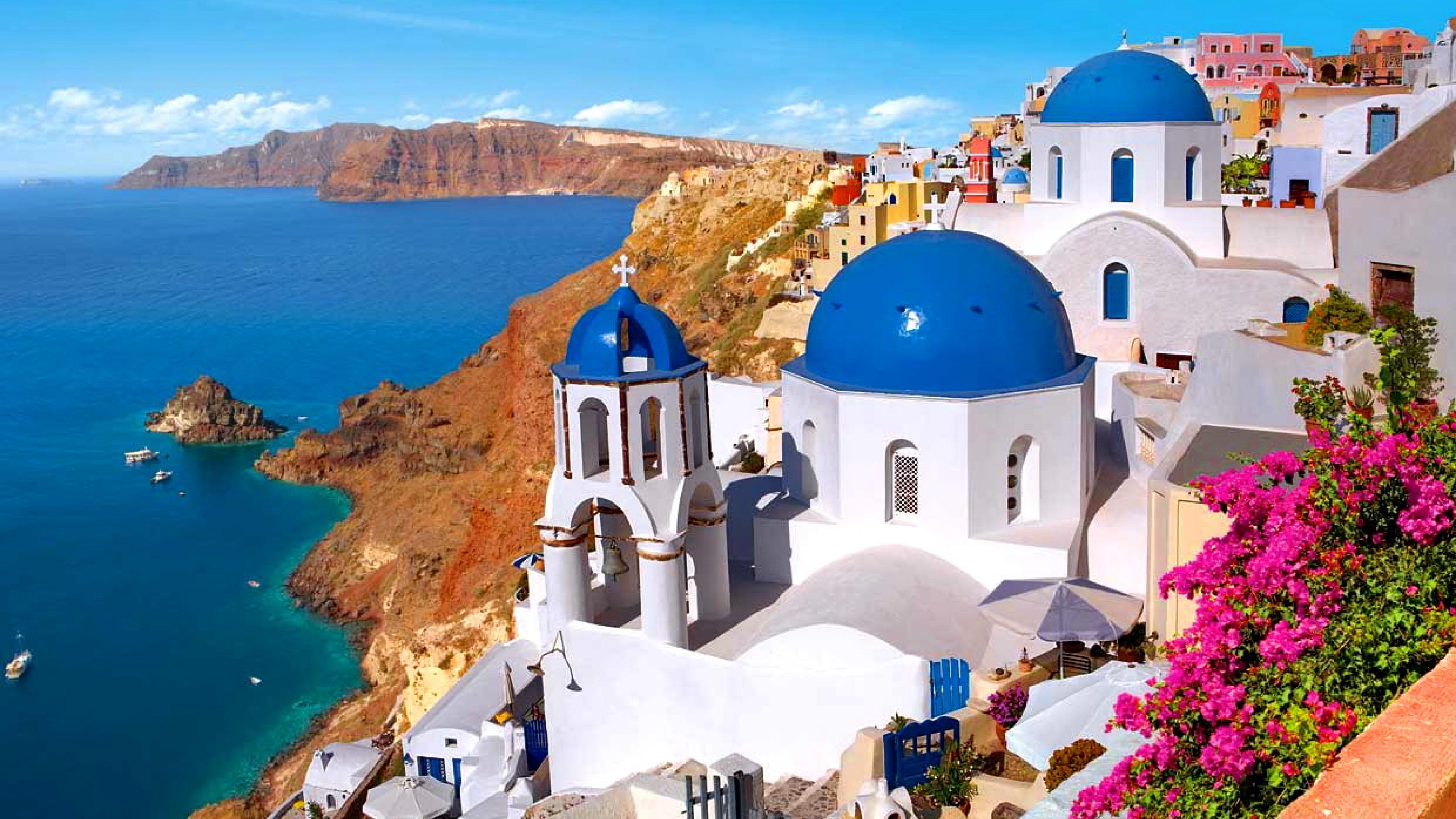
Santorini Greek Island
Santorini Greek Island
Greece
EUROPE
Yes
21
About 200 kilometers (120 miles) southeast of the mainland is the Greek island of Santorini, which is located in the southern Aegean Sea. The Santorini caldera created a small, circular archipelago of islands, of which this is the largest. It is the southernmost island in the Cyclades group, with an area of around 73 km2 (28 sq mi), and has 15,480 residents according to the 2021 census. The populated islands of Santorini and Therasia, as well as the uninhabited islands of Nea Kameni, Palaia Kameni, Aspronisi, Anydros, and Christiana, are all part of the municipality of Santorini. The entire land area is 35 square miles, or 91 km².Thira is the regional unit that includes Santorini. In the South Aegean Volcanic Arc, it is the most active volcanic center. The volcanic arc is roughly 20 to 40 km (12 to 25 mi) wide and 500 km (300 mi) long. Though volcanism on Thera started about 2 million years ago with the eruption of dacitic lavas from vents around Akrotiri, the region first experienced volcanic activity 3–4 million years ago. About 3,600 years ago, the island experienced one of the biggest volcanic eruptions in recorded history, leaving behind thick layers of volcanic ash and a sizable caldera filled with water. Like other Cyclades, Santorini's traditional architecture consists of low-lying cubical homes made of native stone that have been limewashed or whitewashed with different volcanic ashes to provide color. According to the island's traditional architecture, which was established up until the catastrophic earthquake of 1956, these colors have a tendency to replace white in the color of home façades in recent years. The distinctive feature is the widespread application of the hypóskapha, which are sideways or downward excavations of homes into the surrounding pumice. The Thira Autonomous Power Station, situated near Monolithos in the eastern region of Santorini, is the primary source of electricity for both Santorini and Therasia. It is owned by the Public Power Corporation (PPC) and features gas turbines and diesel engines for its generators. The combined installed capacity of the two islands is 0.25 MW of renewable energy and 75.09 MW of thermal energy. The Cyclades Interconnection Project is a €124 million initiative that aims to link the island to Naxos by an underwater cable and, eventually, to the mainland grid by 2023.The island's capital, Fira, is home to the main bus station, from which busses regularly depart. They cover the routes to the majority of tourist destinations and nearly every location on the island.
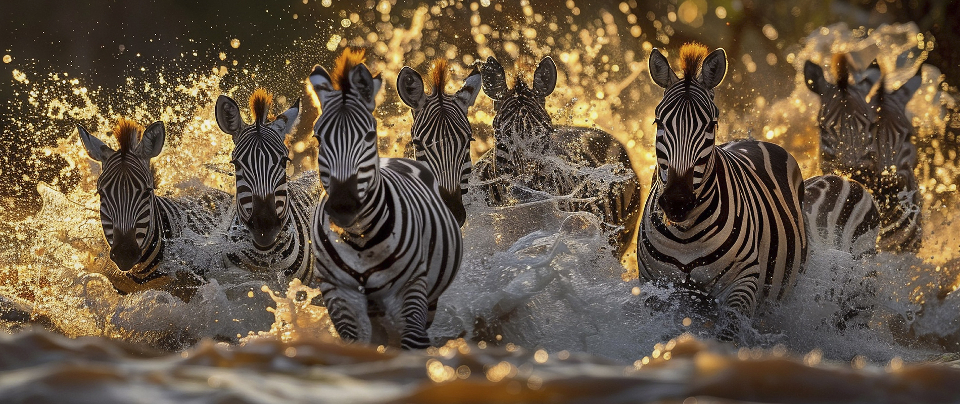
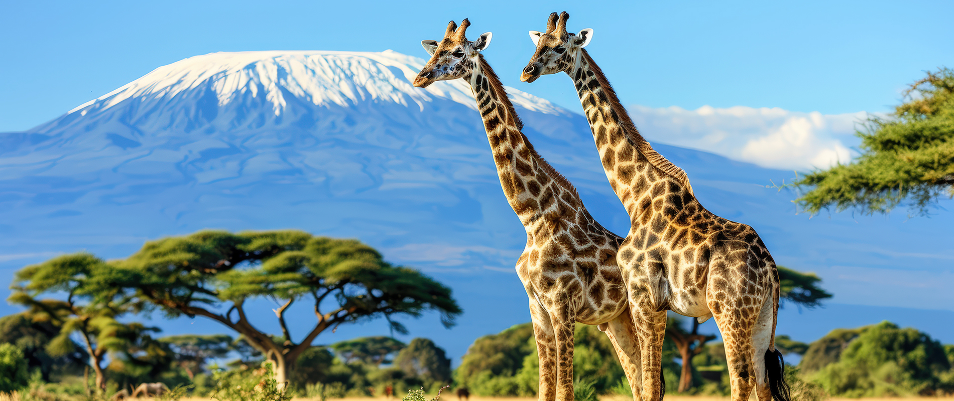
Kruger National Park Africa
Kruger National Park Africa
Africa
AFRICAN
Yes
37
Covering 19,623 km2 (7,576 sq mi), Kruger National Park is located in the northeastern South African provinces of Mpumalanga and Limpopo. It stretches 65 km (40 mi) from east to west and 360 km (220 mi) from north to south. Skukuza is home to the administrative headquarters. The South African Republic's government first protected portions of the park in 1898, and in 1926 it was designated as the country's first national park. It is a part of the biosphere reserve known as the Kruger to Canyons Biosphere. Kruger National Park is home to all five of the big game creatures and boasts 147 species of large mammals, more than any other game reserve in Africa. Webcams have been installed to watch the wildlife. There are believed to be just 400 African wild dog packs in all of South Africa, and Kruger is home to packs of these endangered animals. There is a reasonably consistent group of bird species from the park's southern to central regions, but the mopane-dominated flatlands north of the Olifants show a fall in richness.The larger birds of prey, on the other hand, breed during the dry winter, when their prey is most exposed, whereas the majority of species breed during the summer, when rainfall sustain the majority of vegetable and animal food. In 1918, Kruger National Park was declared, and a commission was formed to oversee its development and planning. A government officer named Johannes Andries (Dries) de Ridder served as the commission's first secretary. After 44 years in charge of the Kruger Park, Warden James Stevenson-Hamilton retired on April 30, 1946. Colonel J. A. B. Sandenbergh of the South African Air Force took his post. The government forcibly removed the Makuleke people from the northern portion of the park in 1969, and approximately 1500 of them were relocated to territory in the south so that their original tribal lands could be incorporated into the larger Kruger National Park. The famed Big Five (lion, leopard, elephant, rhinoceros, and buffalo) are among the remarkably diverse species that makes Kruger National Park famous. The park, which spans about two million hectares, draws tourists from all around the world with its unmatched wildlife viewing opportunities.

 (1).jpg)
.jpg)
.jpg)
.jpg)