Lake Louise Canada
Lake Louise Canada
Canada
NORTH AMERICA
Yes
13
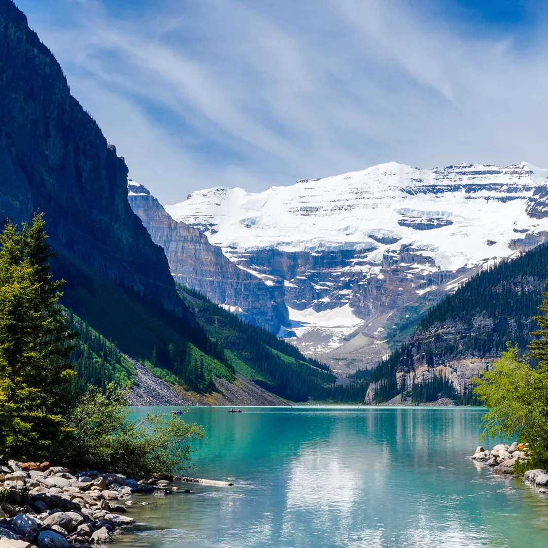
"The Canadian hamlet of Lake Louise is located in Alberta's Banff National Park. Located on the Bow River in Alberta's Rockies, 3 km (1.9 mi) northeast of the lake with the same name, it is named for Princess Louise, Duchess of Argyll. Originally established in 1884 as a Canadian Pacific Railway outpost, Lake Louise is Canada's highest community at 1,600 meters (5,200 feet) above sea level. The climate of Lake Louise is subarctic (Köppen climatic classification Dfc). The average annual snowfall is 279.1 cm (109.9 in), and while winter temperatures can drop below -50 °C (-58 °F), they often hover around -18.4 °C (-1.1 °F) in January and -17.6 °C (-0.3 °F) in February. Summers are characterized by chilly, crisp days and icy mornings. In each month of the year, snowfall is possible. It may also be referred to as a subalpine climate because lower elevations on that latitude have humid continental climates instead. The frost-free period is only 14 days on average due to the high altitude and significant diurnal air temperature change. According to Statistics Canada's 2011 Census of Population, Lake Louise had 691 residents.Workers in the tourism and service sectors frequently relocate to the area for employment, so the population frequently changes from year to year. While Highway 1A starts at the community's entrance, the Trans-Canada Highway (Highway 1) runs alongside the community. Just north of the village is the southernmost point of Highway 93, also known as the Icefields Parkway. The foothills of the Rocky Mountains, including what is now Lake Louise, were inhabited exclusively by local indigenous peoples before European settlers arrived. They hunted the once-common bison, as well as elk, moose, and other big and small game animals, as well as fished the area's abundant waterways and foraged the area's numerous edible and medicinal plant species. The Canadian Pacific Railway (CPR), which would pass through Bow Valley, started construction in the 1870s. The site was named 'Emerald Lake' by CPR worker Tom Wilson, who visited it in 1882 with a Nakoda guide. Afterwards, the hamlet was referred to as ""Holt City,"" ""Laggan,"" and finally, ""Lake Louise."" Although a CPR station from around 1890 was replaced in 1910, the railway company kept using it for other uses until 1976, when it was given to Calgary's Heritage Park Historical Village. The depot was relocated to the park and renovated in the manner of the time when the village was known as Laggan. Because of its excellent preservation and current use as a restaurant, the 1910 station was designated a heritage railway station by the federal government in 1991. Since its 1892 addition to Rocky Mountains Park, Lake Louise has grown to become a popular international tourist attraction thanks to its proximity to the Trans-Canada Highway.
Kruger National Park Africa
Kruger National Park Africa
Africa
AFRICAN
Yes
37
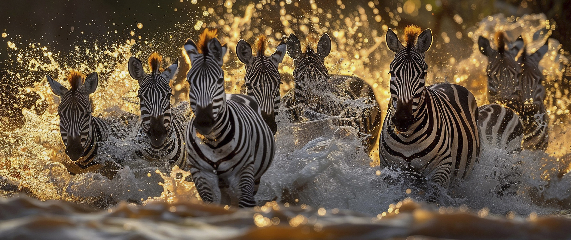
Covering 19,623 km2 (7,576 sq mi), Kruger National Park is located in the northeastern South African provinces of Mpumalanga and Limpopo. It stretches 65 km (40 mi) from east to west and 360 km (220 mi) from north to south. Skukuza is home to the administrative headquarters. The South African Republic's government first protected portions of the park in 1898, and in 1926 it was designated as the country's first national park. It is a part of the biosphere reserve known as the Kruger to Canyons Biosphere. Kruger National Park is home to all five of the big game creatures and boasts 147 species of large mammals, more than any other game reserve in Africa. Webcams have been installed to watch the wildlife. There are believed to be just 400 African wild dog packs in all of South Africa, and Kruger is home to packs of these endangered animals. There is a reasonably consistent group of bird species from the park's southern to central regions, but the mopane-dominated flatlands north of the Olifants show a fall in richness.The larger birds of prey, on the other hand, breed during the dry winter, when their prey is most exposed, whereas the majority of species breed during the summer, when rainfall sustain the majority of vegetable and animal food. In 1918, Kruger National Park was declared, and a commission was formed to oversee its development and planning. A government officer named Johannes Andries (Dries) de Ridder served as the commission's first secretary. After 44 years in charge of the Kruger Park, Warden James Stevenson-Hamilton retired on April 30, 1946. Colonel J. A. B. Sandenbergh of the South African Air Force took his post. The government forcibly removed the Makuleke people from the northern portion of the park in 1969, and approximately 1500 of them were relocated to territory in the south so that their original tribal lands could be incorporated into the larger Kruger National Park. The famed Big Five (lion, leopard, elephant, rhinoceros, and buffalo) are among the remarkably diverse species that makes Kruger National Park famous. The park, which spans about two million hectares, draws tourists from all around the world with its unmatched wildlife viewing opportunities.

 (1).jpg)
.jpg)
.jpg)
.jpg)